
Google Maps routes in Donegal a 'real issue' as Councillor urges Google contact
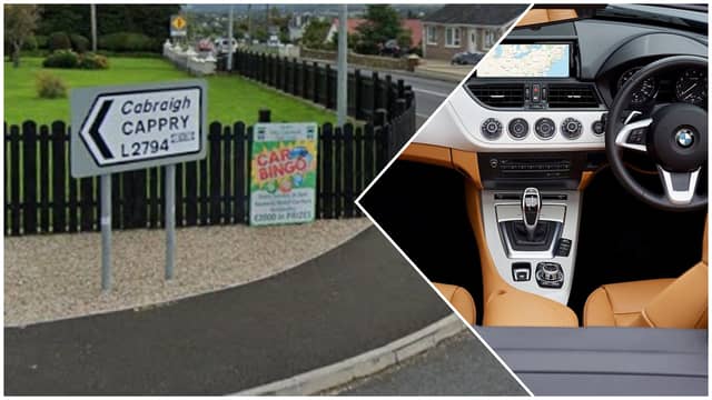

Cllr Gary Doherty said he tested Google Maps himself from Donegal Town to Letterkenny
Donegal County Councillor, Gary Doherty, has called for the council to write to Google, regarding its Maps tool, specifically the route it gives between Letterkenny and Donegal Town in Google Maps.
It has been regularly observed that Google Maps would recommend drivers take routes involving back roads in Cappry, rather than driving on the N15 through Ballybofey and Stranorlar.
Speaking at October’s Lifford Stranorlar Municipal District meeting, Cllr Doherty said: “I know we have mentioned before about Google Maps, and how it has added to the problem.
“It sounds like something that is not serious, but last week, I decided to come down from Donegal Town and put in Letterkenny, and again, it was taking me off to Cappry instead of going through the main road.
“When you think of the amount of tourists in the county, we have a lot of tourists travelling through the gap, and that is the main SatNav tool that people use during the drive. Tourists are going through that road.
“It is a very real issue, even if it sounds like you are having a bit of a laugh. I am not sure what the solution would be, but if the council could write to Google to maybe change that. It is not a national road.”